Our day trip took about three hours of no-traffic driving from our front door.
Spring is about many things, but is obviously is about waterfalls.
The first waterfall we encountered on the Big Oak Flat Road was the Cascades. The actual fall is up the mountain and obscured by trees and boulders, but the water below the bridge is a sight to behold.

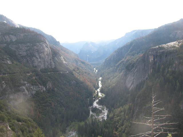
A little further down the steep road, which clings to the mountainside as you descend into the Valley, are multiple views of the Merced River in full flow through the Valley. Bridalveil Falls is in the distance, spilling out of its hanging canyon high above the south wall of granite. It is only 620 feet above the canyon floor, about one-fourth of the popular Yosemite Falls, but can offer some of the most spectacular viewing when the wind is blowing back against the crest.

Further down inside the Valley you begin to see falls, on both sides of the canyon. We did not get pictures of them all, obviously, as some are more subtle than others, and some beyond this photographer's ability.
Here is one of our first views of Yosemite Falls, which looms 2,425 feet above the bottom where it crashes into the rocks and flows into the Merced River. From this distance you only see the top of the waterfall. This was taken as we drove in, shot from near the loop road on the South side of the canyon. You can see Spring popping out in the greening trees and grasses, and the still bare branches just waiting for a few more warm days.

Below are two ribbon-like falls just above Curry Village on the south wall. The sound of water flowing is everywhere you turn, whether crashing off the top of the walls or cascading down the talus slopes. (Not far from here a large section of granite wall fell a year or so ago, scaring the heck out of people and slightly reducing the useable space in Camp Curry.)

At the upper end of the Valley you can look up toward Tenaya Canyon, and see and feel the power of the Merced River as if heads down the mountain. History note: this is one route the native Americans used when trying to run away from Gold Miners determined to wipe them out in the 1850s.

Coming back on the west-bound loop brings you to the trail to Yosemite Falls, the biggest and grandest of all in the park. This is one of the places you can see almost the entire waterfall, which actually comes down the mountain in at least three sections. A few weeks earlier the pool at the bottom of the top fall would have a large snow cone, but it apparently broke up before we arrived this week.

Here's a view from further away:

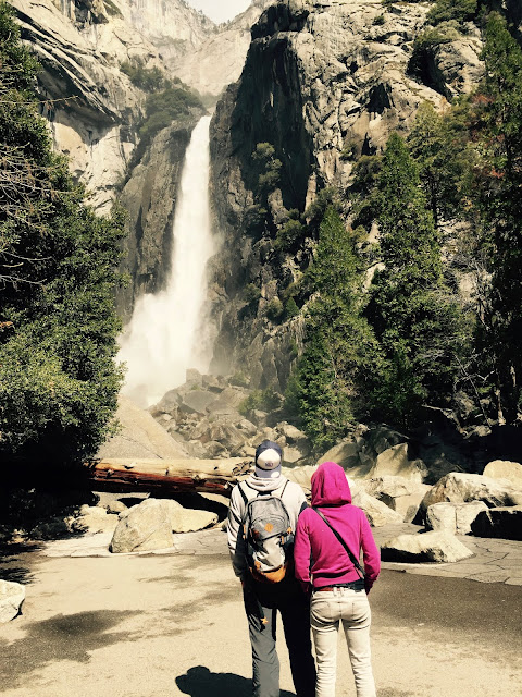
And here is what you see if hike up close: the bottom of the falls and a lot of cold blowing watery mist.

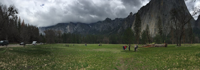
As we left the Valley we did what most tourists do: stop to look for mountain climbers on the face of El Capitan. We forgot binoculars, assured each other those tiny dots on the granite were climbers, and enjoyed one last look at the Valley before driving home.

Go soon, before the crowds become intolerable, and while the water still flows.